Hurricane watch

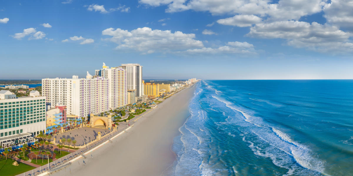
Webcam (with audio :Y) at Cape / Port Canaveral, which is where a few are now predicting US landfall.


and a pier at Coca beach


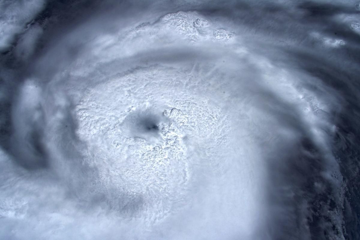
The last hunter aircraft flying above Dorian has confirmed gusts upwards of 170mph near the centre.
 
Sustained winds now 185mph, central pressure 911 millibars.

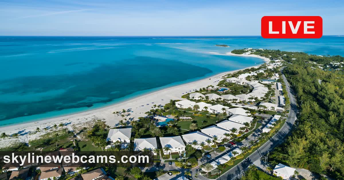
All Bahamas cameras offline
 
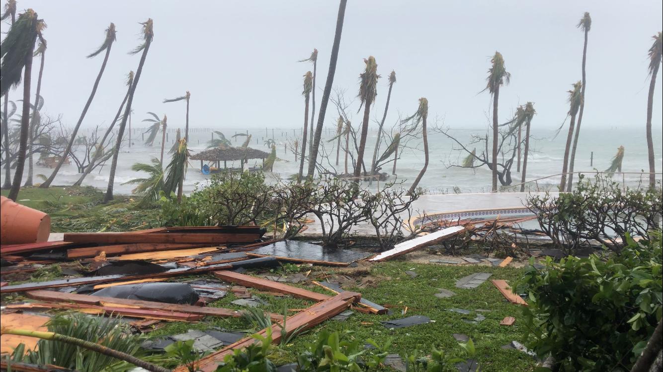
Not sure of the authenticity, but it does look like the mess a hurricane would make, along with the water sloshing about

 
Continuous lightning shown on the Nassau cam , with audio.

 
Last edited:
 
Dorian moving west, and has now virtually stalled directly above Grand Bahama. Freeport will be getting a lot of rain for the next few hours.

Still no confirmation that there will be a move to the north anytime soon, though the predictions are all suggesting this is the case.

Cape Canaveral is smack in the middle of the area most at risk of the storm surges. Staff have moved the mobile launch structure inside their vehicle assembly building, using the crawler that dates back to the Apollo missions.


Another storm is forming rapidly a few hundred miles off the African coast.

 
Of course if Dorian does skirt up the east coast as meterologists are hoping, what's left could travel back across the Atlantic and pay the UK a visit.
 
A friend of mine in Florida evacuated a few days ago.
 
I have friends in Miami, on Sunday they could see the upper cloud formation of Dorian from the hotel heliport.

It's got somewhat darker and windier since then.
 
Webcam (with audio :Y) at Cape / Port Canaveral, which is where a few are now predicting US landfall.


and a pier at Coca beach


Surfs up at both locations.
 
East Florida and Georgia on tornado watch.
 
Back
Top